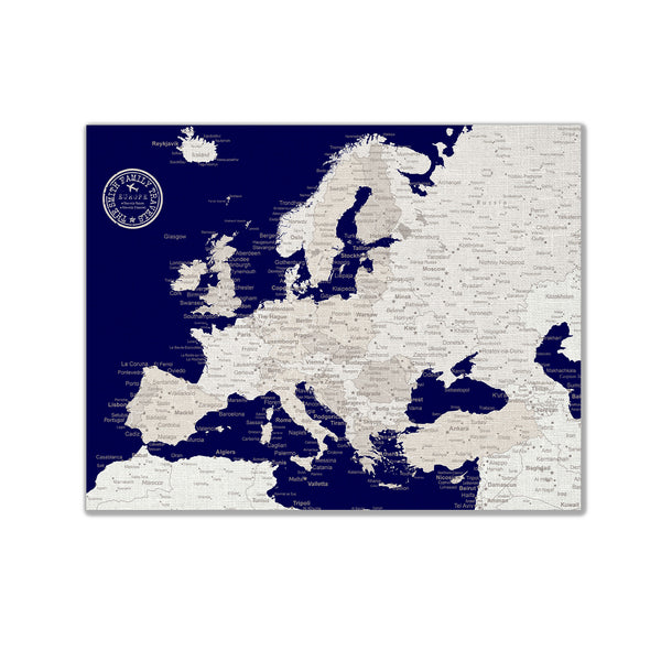
See the intriguing features of this Mozambique wall art print on display. This Mozambique map shows the distinct shape of the country. See the Zambezi River as it moves into the country and divides the northern and southern halves. The Mozambique poster displays the Niassa National Reserve at the north while the city of Maptuo appears at the bottom part. The roads around the country are on display with many of them stretching along the shores of the Indian Ocean. Look as the shores come alive with the Bazaruto Archipelago standing out at the bottom with the Mozambique Channel dividing the country from Madagascar.
"The frame/matte is not included. Please select your size and color from the drop-down menu and then click Add to Cart to order! Actual colors might vary due to monitor settings.
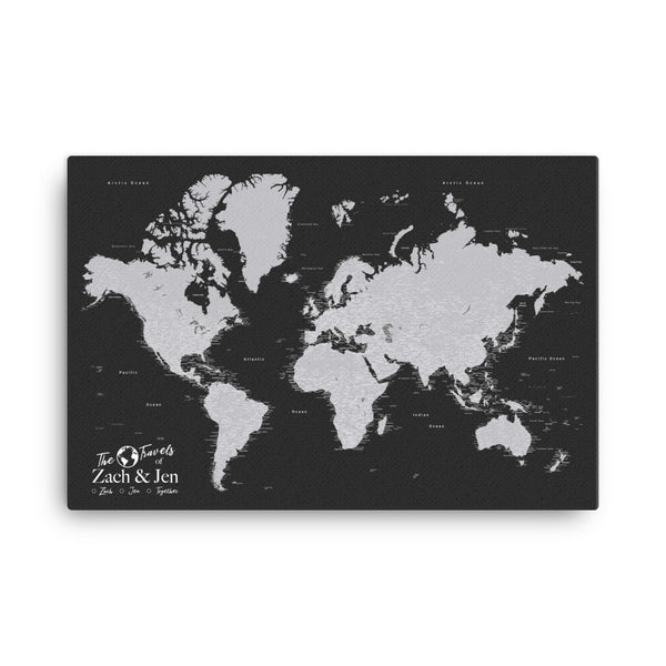
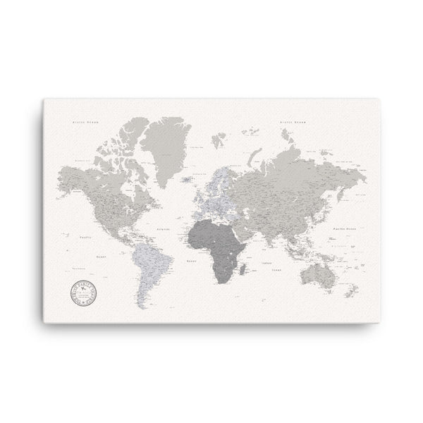
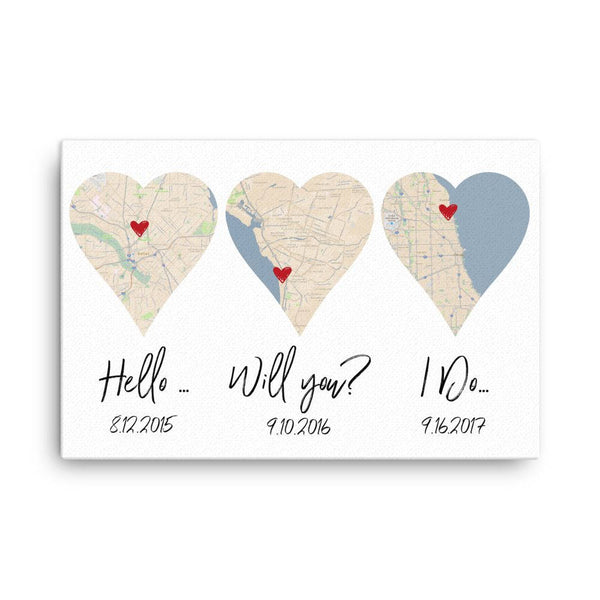
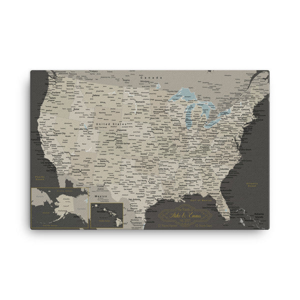
About the poster: It's printed on museum-quality posters made on thick, durable, matte paper and uses UltraChrome ink. These beautiful posters are printed on archival, acid-free paper. It's fingerprint resistant and perfect for framing. About shipping: We ship worldwide. It generally takes 3-5 days to process and 3-5 days to ship to the USA, 5-12 days to Canada, and 10-20 business days elsewhere in the world."
We ship worldwide!
It generally takes 3-5 days to print, package, and ship your order and then another 3-5 days to ship to the USA, 5-12 days to Canada, and 10-20 business days elsewhere in the world. Tracking information is included.