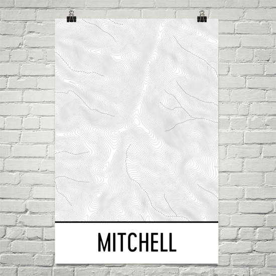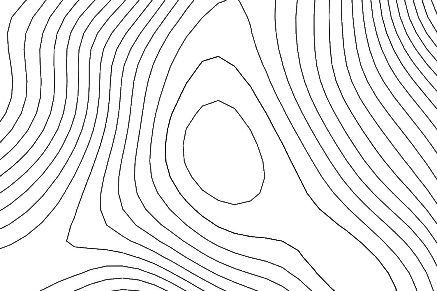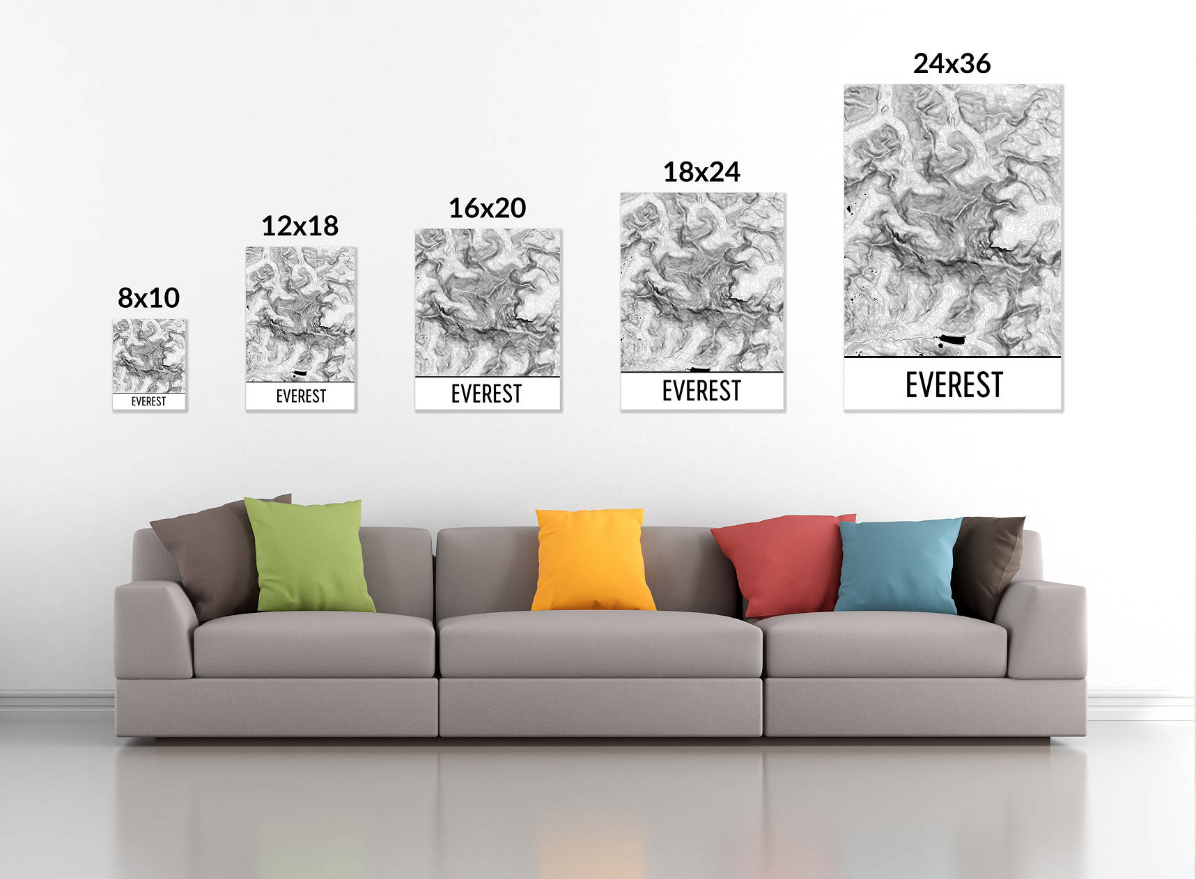


Mount Mitchell is noteworthy for being the tallest peak on the eastern end of the United States. This part of North Carolina will bring people up more than 6,000 feet to see the wonderful forests of the state park of the same name while the Blue Ridge Parkway moves around in the distance. See how this Mount Mitchell map art print shows the full layout of the mountain. Look as the peak moves from the south to the north. Watch to the east as the Rock Creek forms and splits off into several smaller bodies of water. This is a fine token of a trip to North Carolina that is as beautiful as the region is itself.
We ship worldwide!
It generally takes 3-5 days to print, package, and ship your order and then another 3-5 days to ship to the USA, 5-12 days to Canada, and 10-20 business days elsewhere in the world. Tracking information is included.