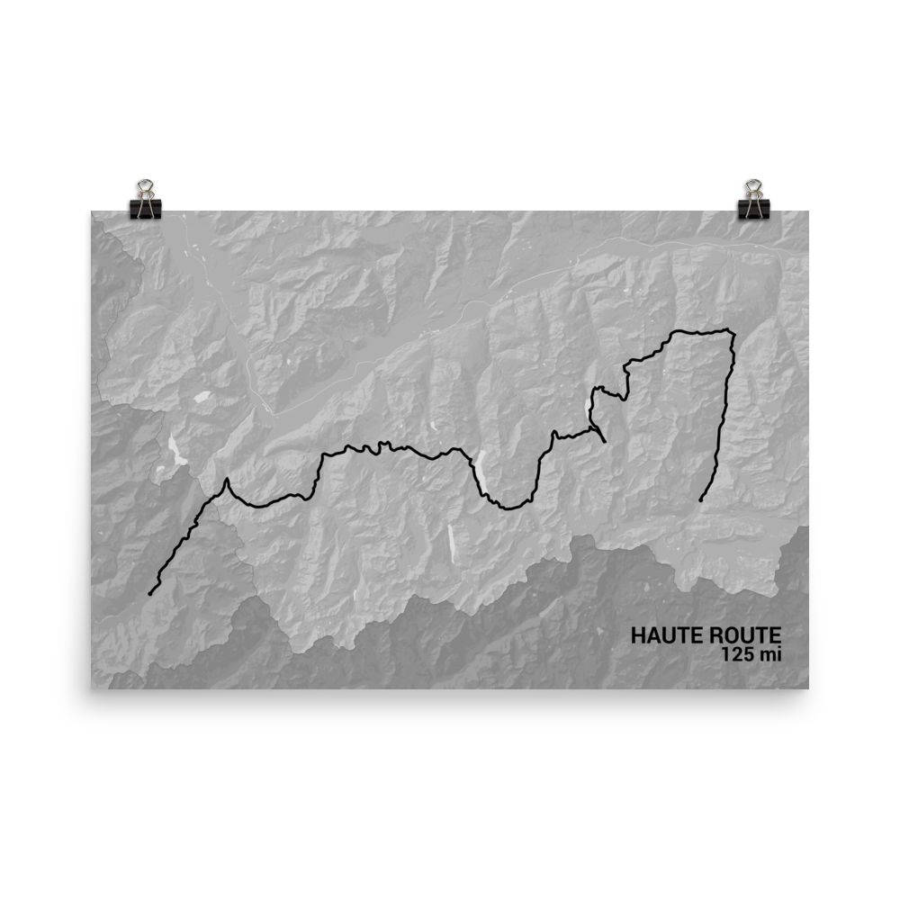
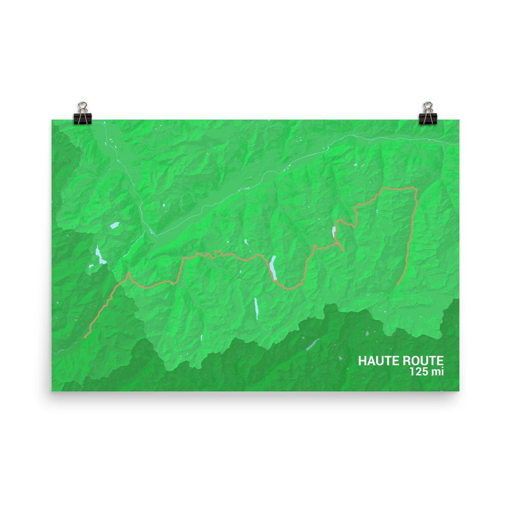
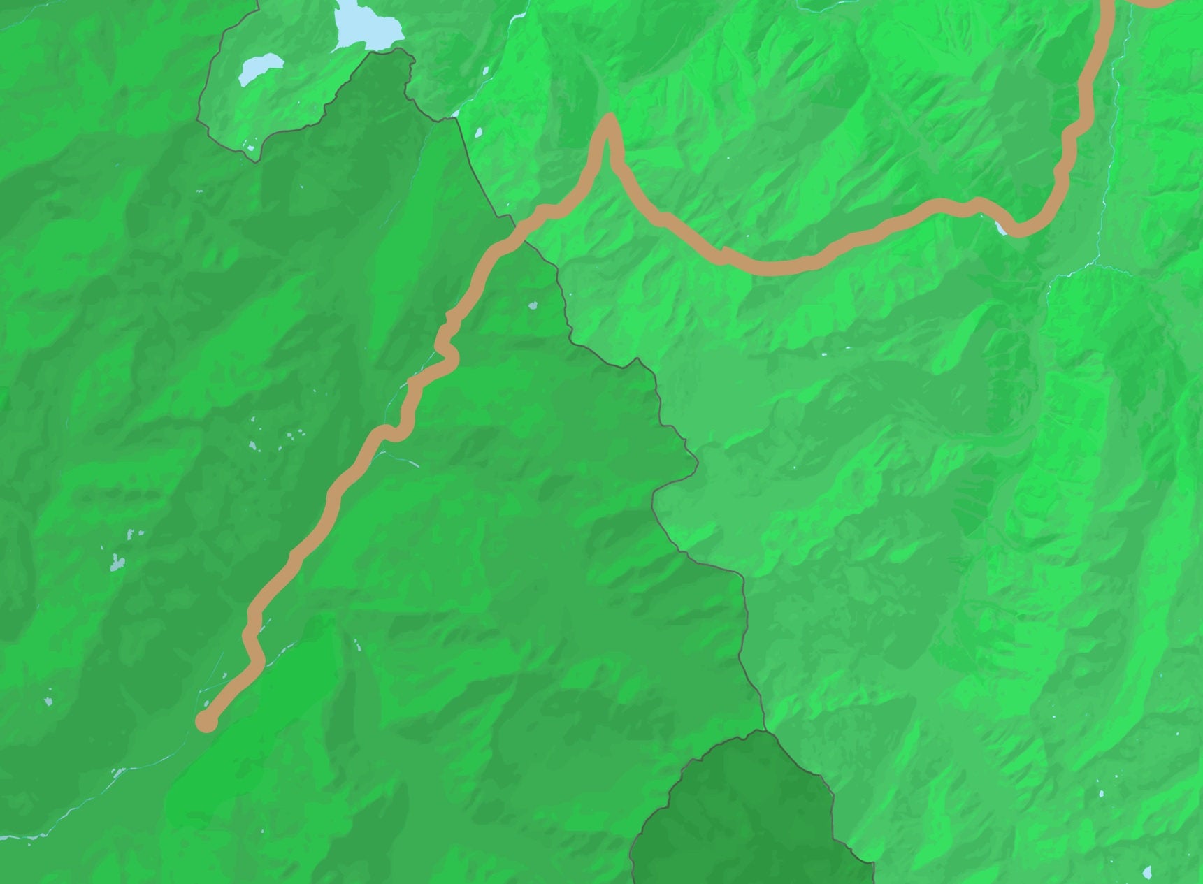


The Haute Route Trail is a beautiful trail for walking or cross-country skiing. This Haute Route Trail map displays the full layout of the path in all its glory. Look as the trail starts in Chamonix to the west and moves its way into the Swiss Alps. Each curve and bund of this extensive 125-mile trail is on display on this print. The design shows the topographic array of the region as well, showing off where the mountains form and where their peaks are. This is a nice souvenir to have of a trip to the French Alps regardless of whether you traveled by foot or ski.
We ship worldwide!
It generally takes 3-5 days to print, package, and ship your order and then another 3-5 days to ship to the USA, 5-12 days to Canada, and 10-20 business days elsewhere in the world. Tracking information is included.